THE DALTON HIGHWAY
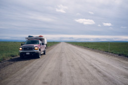
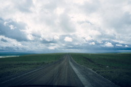
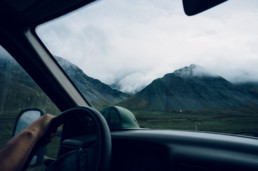
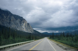
We covered 828 miles in 3 days, driving through fires, rain, fog, the Brooks mountain range, boreal forest, and the Arctic coastal plain. The rough road serves as a haul road up to Prudhoe Bay, but the conditions keep most tourists away, leaving it one of the most isolated and scenic roads in North America.
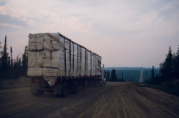
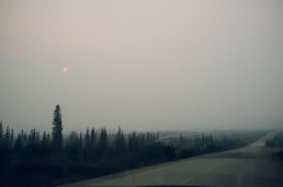
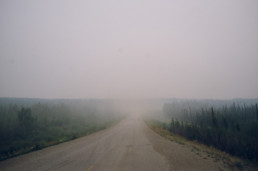
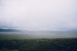
As we began to head north, we found ourselves alone, aside from the occasional 18-wheeler hauling supplies up to Prudhoe Bay. We immediately began to notice subtle smoke that became more and more dense, shrouding most of the landscape. We continued on with hopes that the smoke would clear as we got further north.
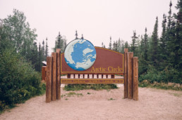
We’d imagined crossing into the Arctic Circle would be a cold, icy experience, but when we passed the landmark after 9pm, we found it warm, green, and smoky.
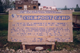
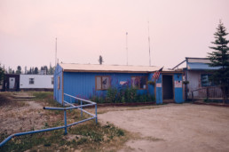
As it got close to midnight, we stopped to fuel up in Coldfoot (the last fuel before Deadhorse) where we were told the smoke was blowing in from nearby fires, and that the wind should be shifting and clearing things up the next day. We called it a night and set up camp nearby.
BEYOND THE SMOKE
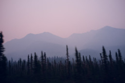
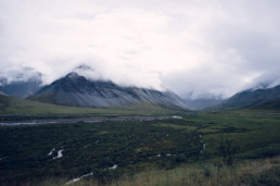
The next day we were relieved to find that the smoke had started to dissipate, allowing us our first views of the Brooks range. We’d covered around 240 miles from Fairbanks the previous day, but there were still many miles to go before we’d reach Deadhorse.
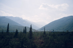
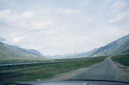
As we drove further north, the mountains gave way to coastal plains. The flatter landscape revealed just how vast and empty this place is.
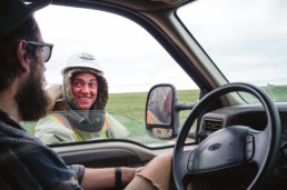
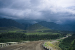
While we didn’t see many travelers along the way, we did run into a fair amount of road construction. We met a friendly worker who was eager to talk to someone new while waiting for the pilot car. He told us about the day-to-day life, the long hours, and the harsh winters.
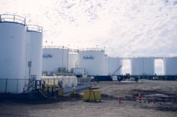
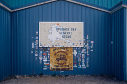
DEADHORSE
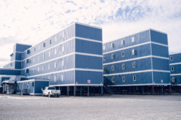
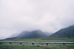
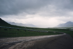
The drive had taken us through untouched natural beauty, but the pipeline was always there to remind us of the industrial town that awaited us at the end of the road. Even so, it was still a surprise to us just how industrial Deadhorse is.
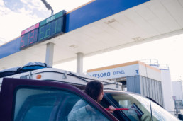
Fuel at the top of the world was not cheap.
While we made it to Deadhorse, we could go no further. Oil companies own Prudhoe Bay, and any visitors who want to get to where the land ends must pay $80 per person for an official oil company tour shuttle.
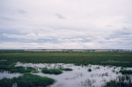
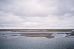
We made camp along the Sag River that flows into the Arctic Ocean. This time of year, it’s always light out, as the sun rises in mid May and doesn’t set until the end of July.
The welcoming party of mosquitoes wasn’t appreciated.
TURNING AROUND
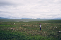
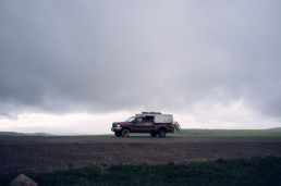
The next morning we woke up to low lying rain clouds and heavy winds, making the landscapes along the lonely road much more dramatic.
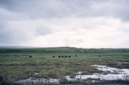
At times the landscape was spotted with muskoxen, who look like they just stepped out of the last ice age.
The beauty of this landscape rivals all the others we’ve seen since being on the road, the only difference being the noticeable absence of crowds.
THE END OF THE ROAD
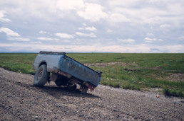
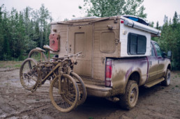
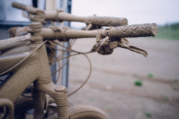
After over 800 miles on the Dalton Highway, the road conditions started to improve and we knew we were approaching the end of this journey. It had been a fun, muddy adventure.
In the end, it was clear that both us and Red Zeppelin could use a bath.


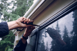
Before continuing on, we tightened windows, cabinets, and doors that the road had shaken loose.
FINAL THOUGHTS
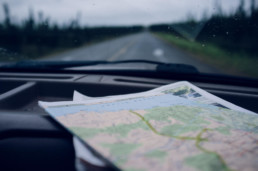
If you’re in Fairbanks and looking for a multi-day excursion up to the Arctic, make sure your vehicle is prepared and hit the Dalton Highway. It will undoubtedly be out of your way, but it’s worth it. Check out the BLM visitor guide for more information and tips before you go.
We completed the drive in 3 days, but given the chance to do it again (and better weather), we’d spend more time exploring some of the hiking and biking opportunities along the way.
CAMPING
Marion Creek Campground $8
[67.31667, -150.15664]
Roadside & Riverside Boondocking FREE
[70.18616, -148.43061]
FUEL
Coldfoot Camp
[67.25198, -150.17764]
Tesoro Gas Station
[70.21614, -148.40134]
DISTANCE
828 miles / 1332.54 Kilometers